Streetscapes
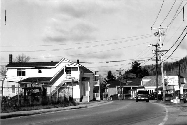
BLOCKS 1 and 2
Photo 158. Wight St., looking north from the Converse Shoe Factory
Roll: 1 Frame: 16 Direction: N
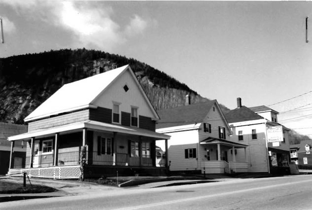
BLOCK 4
Photo 159. Wight St. between Fourth and Fifth Ayes., left and center present 1928, right ca. 1938
Roll: 1 Frame: 33 Direction: NW
BLOCK 6
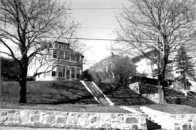
Photo 160. Corner Third Ave. and Hinchey St., ca. 1938
Roll: 2 Frame: 20 Direction: NE
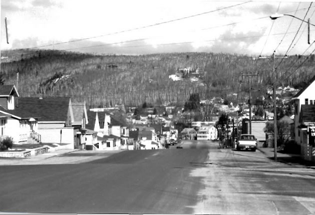
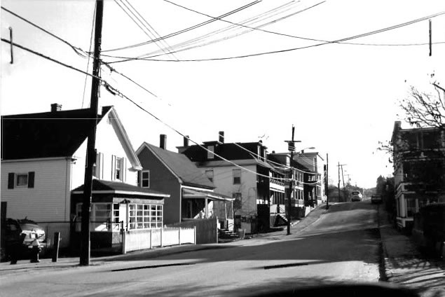
Photo 161. Third Ave., from St. Joseph St.
Roll: 2 Frame: 33 Direction: N
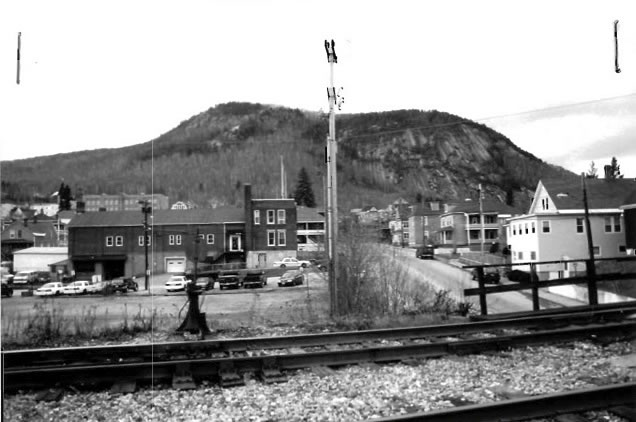
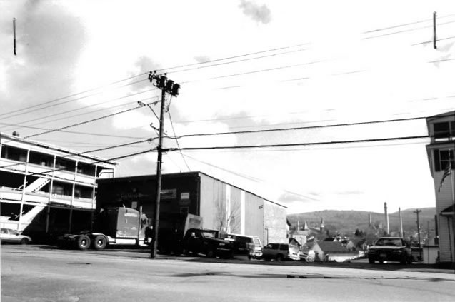
Photo 162. Looking at project area, up Green St., from railroad bridge
Roll: 6 Frame: 25 Direction: W
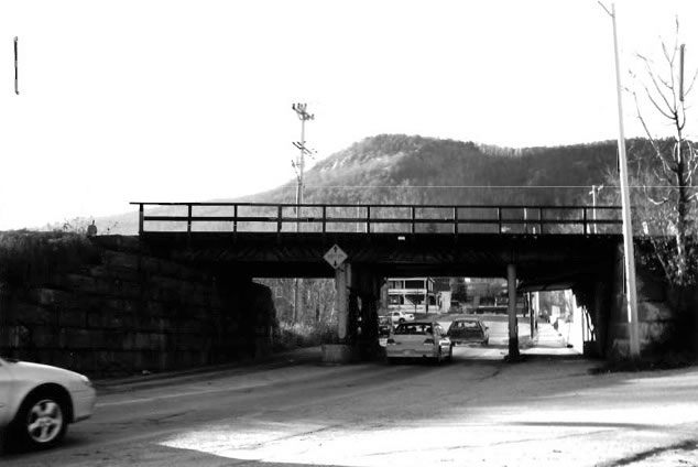
Photo 163. Railroad bridge over Green St.
Roll: 5 Frame: 13 Direction: W
BLOCK 16
Photo 164. Green St. (north side), south of First Ave.
Roll: 5 Frame: 11 Direction: N
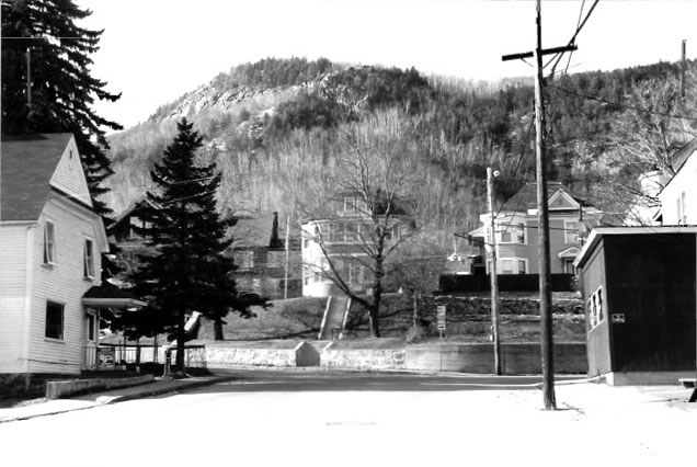
Photo 165. Green St., looking toward Second Ave., from First Ave.
Roll: 4 Frame: 13 Direction: W
BLOCK 11
Photo 166. Second Ave. (west side), across from Green Street, ca. 1901, bays and 1-story porch both added ca. 1905
Roll: 3 Frame: 30 Direction: NW
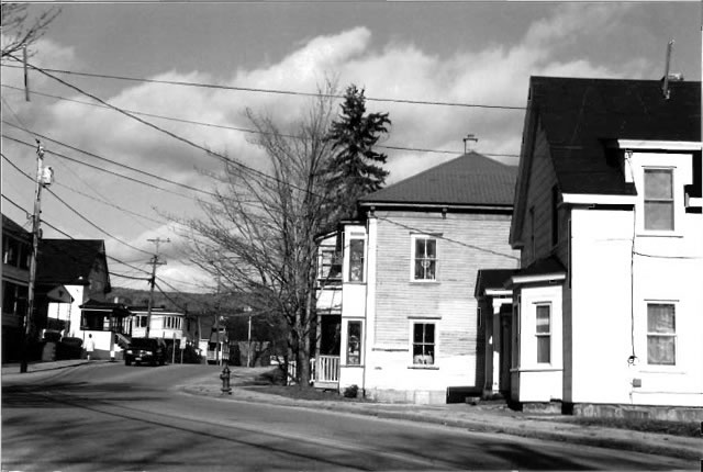
Photo 167. Second Ave. from Sessions St.
Roll: 4 Frame: 10 Direction: N
BLOCK 12
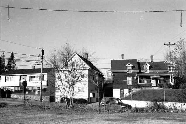
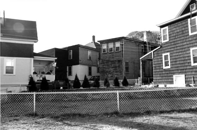
Photo 168. Rear of houses on Second Ave. from north end of First Ave. near railroad tracks
Roll: 4 Frame: 20 Direction: SW
BLOCK 14
Photo 169. First Ave. from Green St.
Roll: 4 Frame: 31 Direction: S
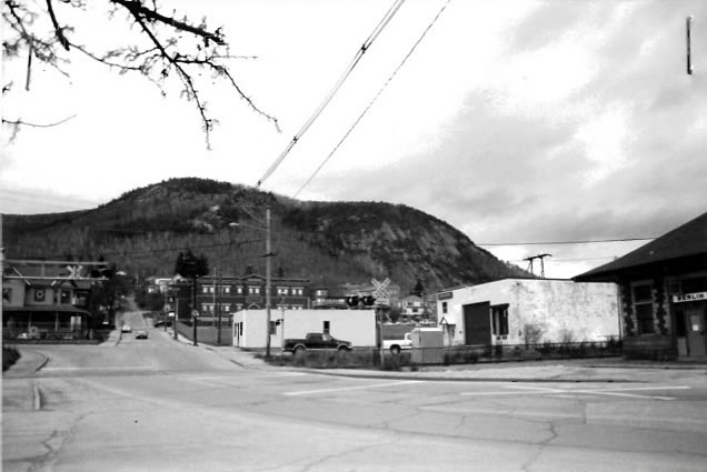
Photo 170. Mt. Forist St. from Grand Trunk Railway station
Roll: 6 Frame: 2 Direction: W