Historic Maps
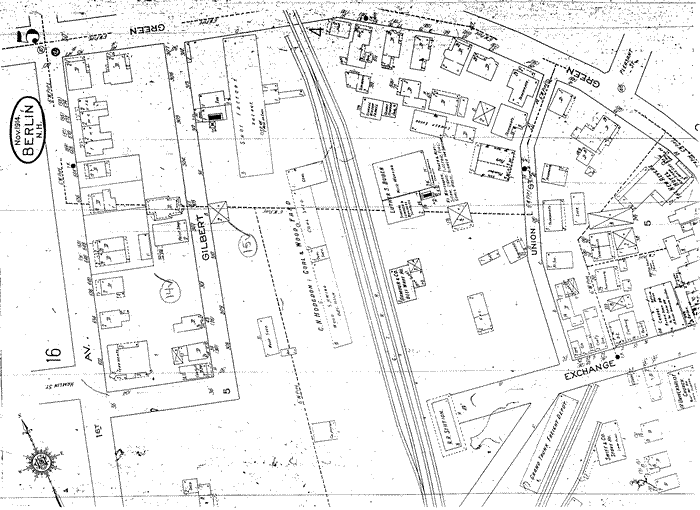
Green Street and First Avenue (Sanborn 1914)
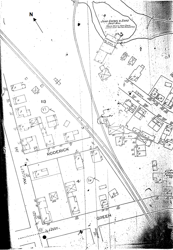
Roderick and Green Streets (Sanborn 1914)
1920 Index (Sanborn 1920)
Green Street and First Avenue (Sanborn 1920)
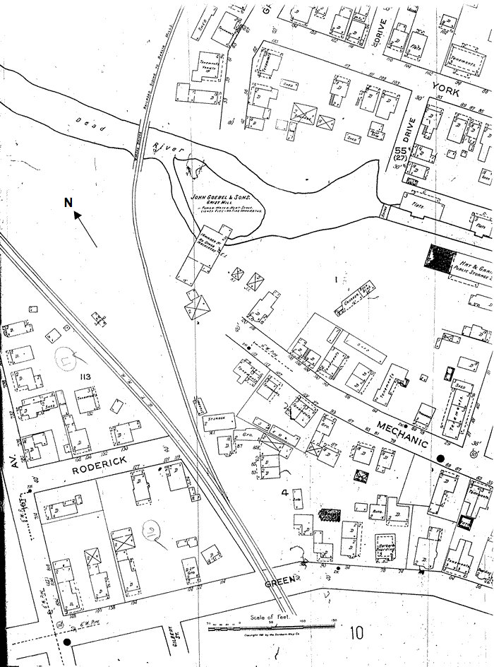
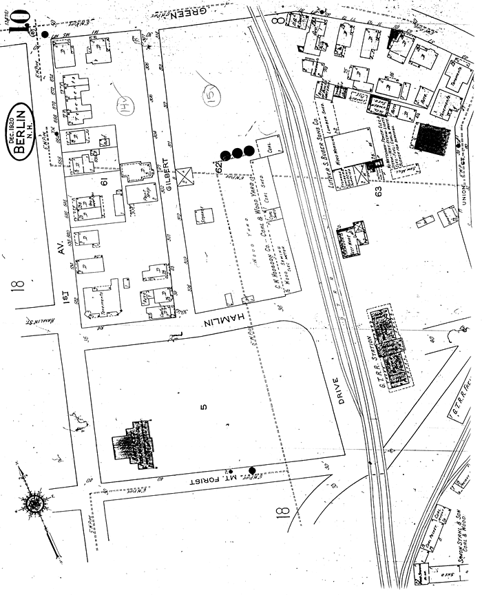
Roderick, Green, Mechanic Streets (Sanborn 1920)
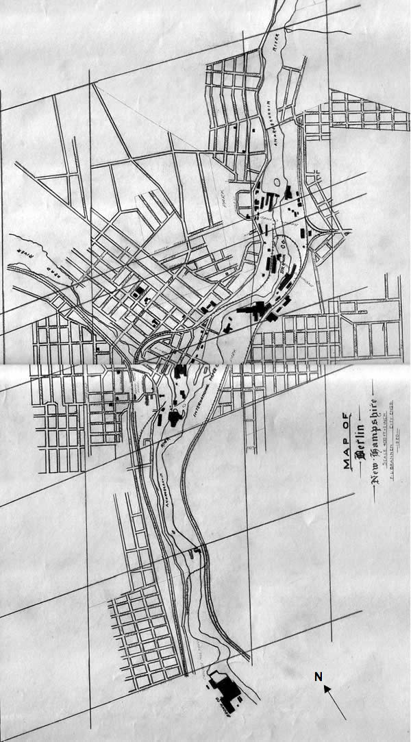
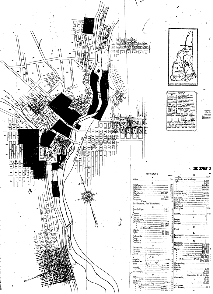
1920 map (Collection of the Berlin and Coos County Historical Society)
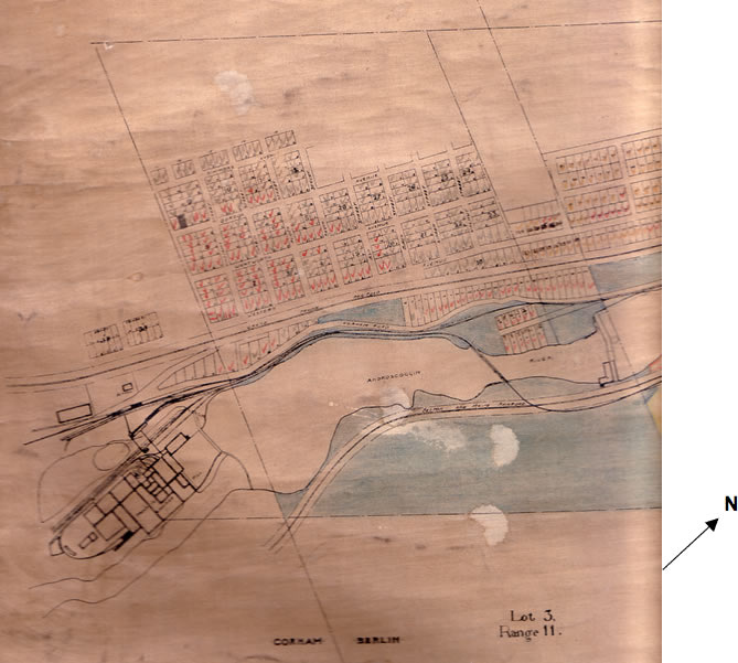
Berlin Lot Map 1907, revised 1923 (Collection of Berlin and Coos County Historical Society)
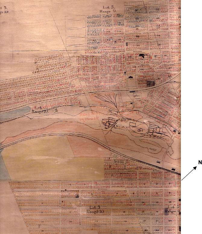
Berlin Lot Map 1907, revised 1923 (Collection of Berlin and Coos County Historical Society)
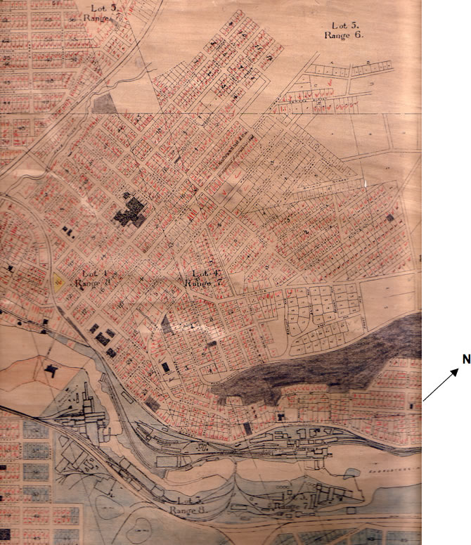
Berlin Lot Map 1907, revised 1923 (Collection of Berlin and Coos County Historical Society)
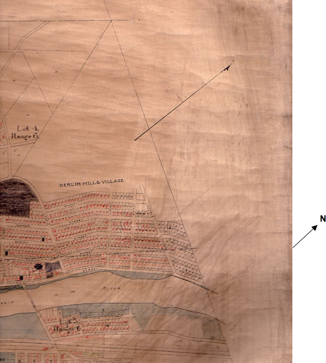
Berlin Lot Map 1907, revised 1923 (Collection of Berlin and Coos County Historical Society)